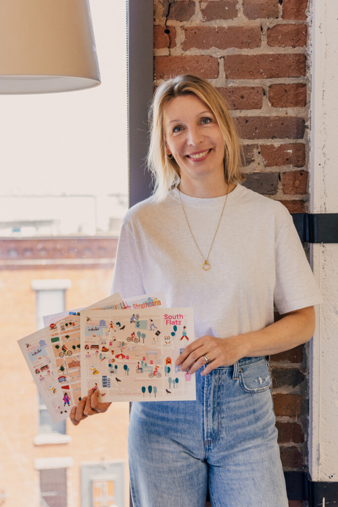
What do the banners on Denman Street, the back doors in Eihu Lane downtown and school walls in Oakridge all have in common? They all feature the work of local artist Renske Werner.
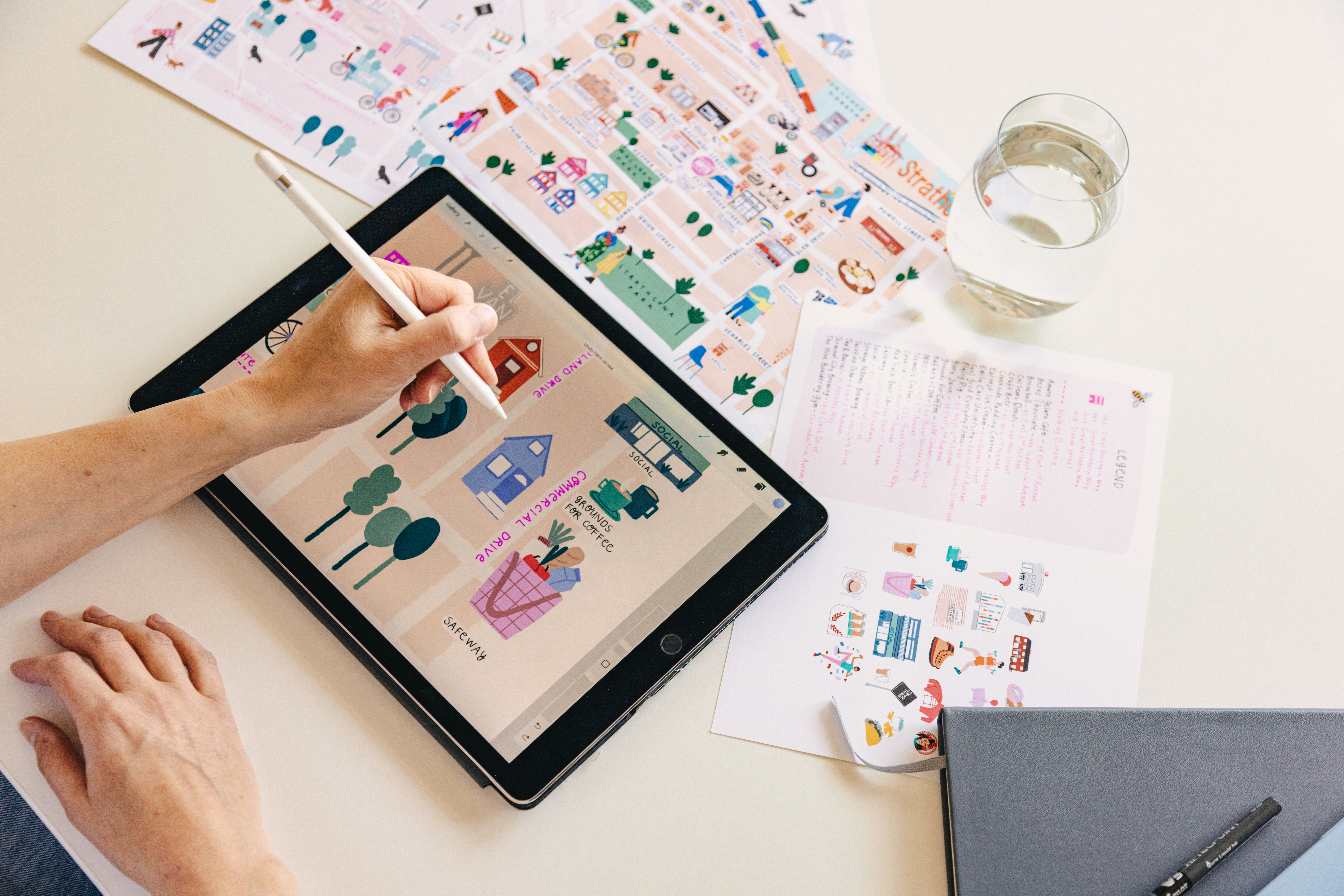
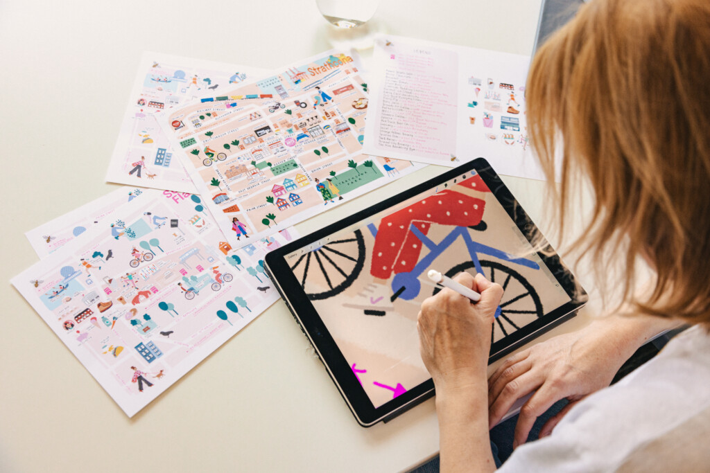
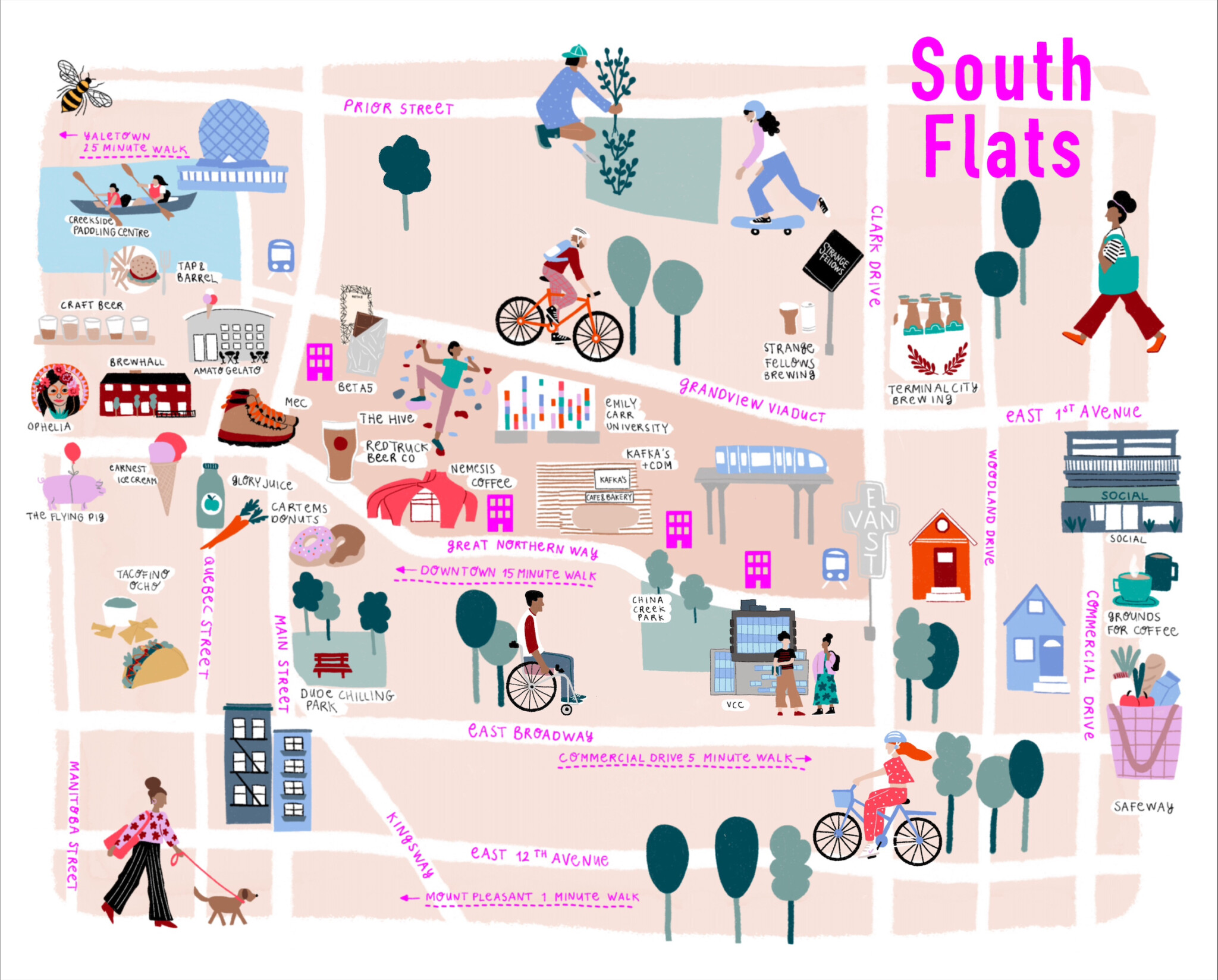
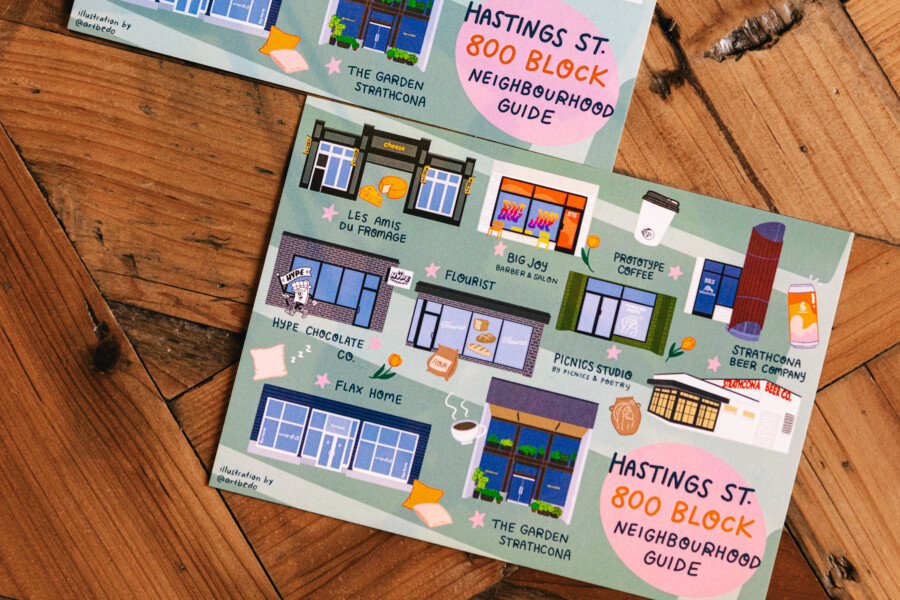
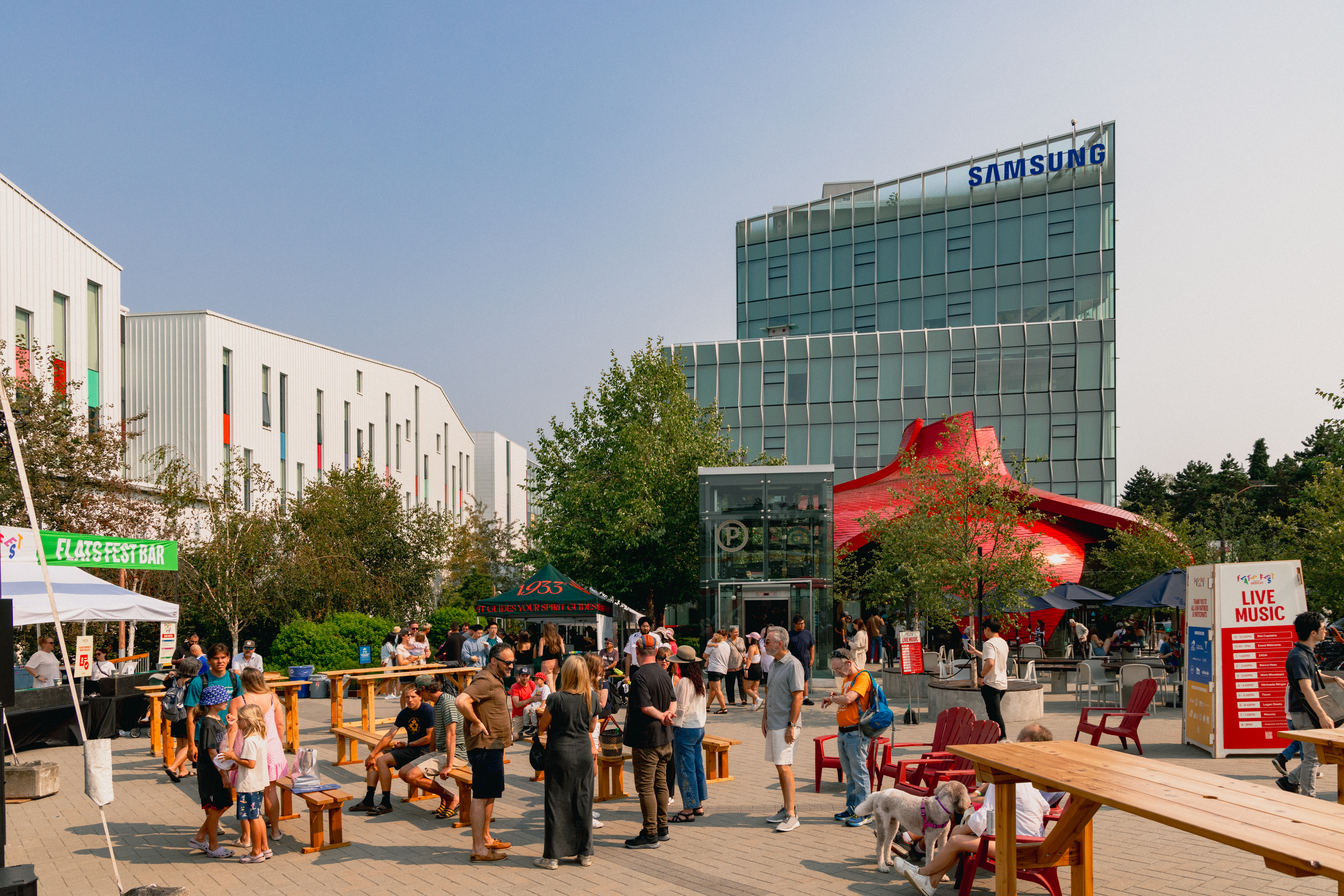
So, when we wanted to create an illustrated map of the South Flats, we knew Renske was the right fit for the project. The goal was to create an illustrated map showing the connectivity of the South Flats, including some of our favourite businesses, parks, and attractions in the area. We loved the result so much, the map was featured on the tote bags handed out at Flats Fest, our recent community event.
We sat down with Renske to learn a little more about her evolution as an artist, her process for creating illustrated maps, and her favourite part of commissioned work.
